
Storm Darragh follows on from a period of unsettled and squally conditions. The large area of low pressure is expected to bring a period of strong winds to much of the UK. Heavy rain will also be a feature of Storm Darragh with the heaviest rainfall expected to be focussed in the northern and western parts of the warning area. Some hill snow in the north in areas above 200m elevation can also be expected.
Jason Kelly is a Met Office Chief Forecaster. He said: “Storm Darragh is an evolving system and will bring several hazards, including wind gusts of up to 70-80mph around western coasts, especially from Devon and Cornwall to southwest Scotland and Northern Ireland. Wind speeds in inland areas will be slightly reduced with maximum gusts expected to reach 60-70mph.”
A series of Yellow weather warnings will remain in force until Sunday. On Saturday an Amber weather warning for wind is in place to cover the areas at risk of the greatest impacts from Storm Darragh. For the latest weather situation please stay up to date with the National Severe Weather Warnings.
Thursday and Friday
The period ahead of Storm Darragh’s arrival will also be unsettled. Jason Kelly added: “Today we will see bouts of heavy rain and squally winds moving eastwards across the UK with the bulk of the rain moving away from the UK by late evening. Tonight, will remain largely dry with clear skies ahead of Storm Darragh which will begin to impact Northern Ireland Friday evening.”
 Dates announced for Chiddfest 2027
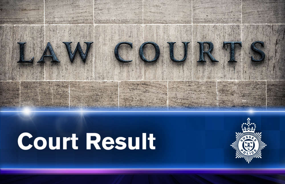 Employer convicted of stalking former employee over five-year period
 ID appeal after Eastbourne parcel theft report
 Eastbourne board gamers unite once again for fifth annual charity fundraiser
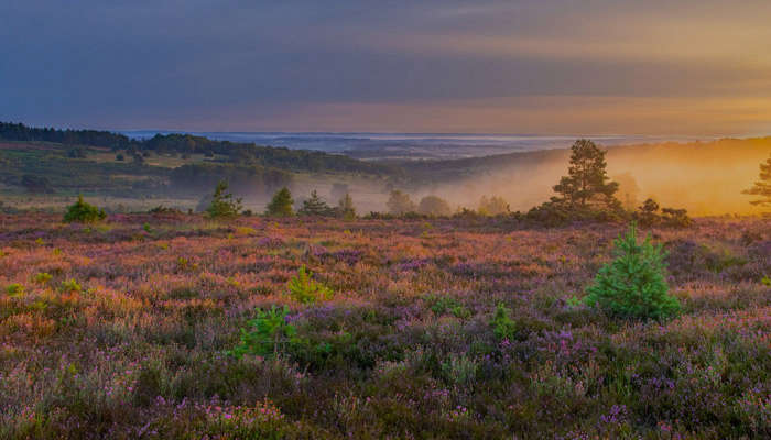 Critical wildfire warning issued for Ashdown Forest visitors
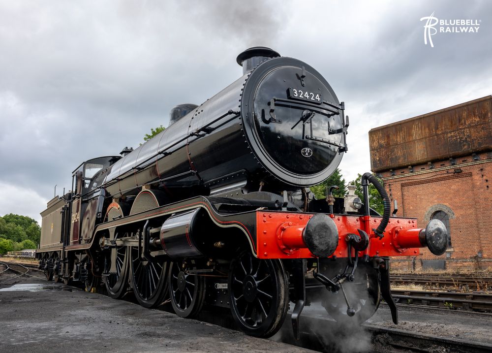 Bluebell Railway hosts popular Southern at War event
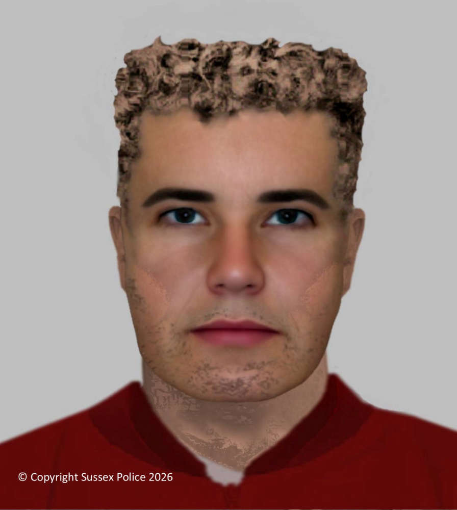 St Leonards sexual assault: Police release efit of suspect
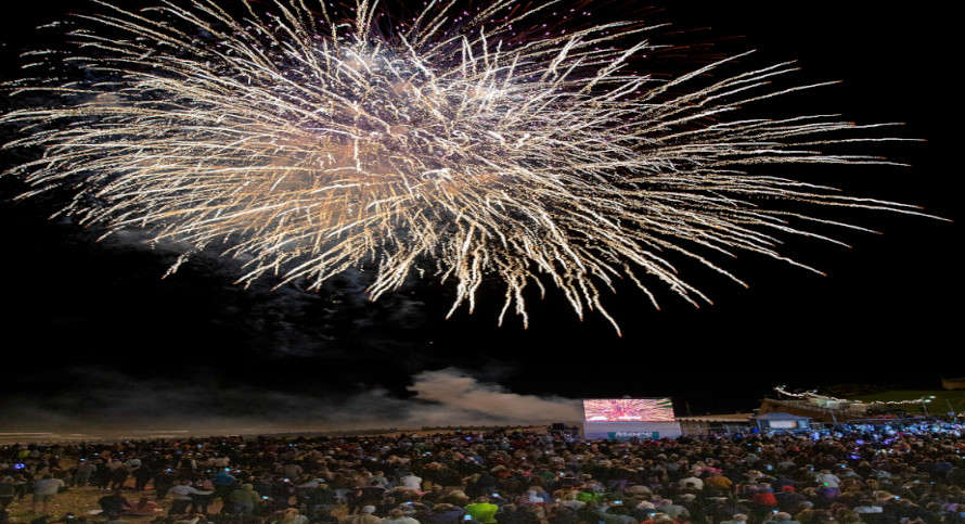 Fireworks to Bring a Glittering Finale to Airbourne